.png)
Leica CountryMapper
LiDAR
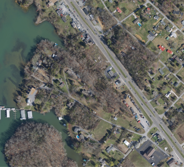
Ortho
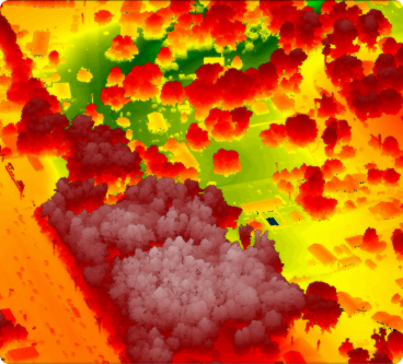
DSM
Leica CountryMapper combines a large-format photogrammetric camera with a high-performance LiDAR unit into a single pod, providing the most accurate and comprehensive 2D and 3D data products to support a wide variety of applications.
Data Products
LiDAR Point Cloud
Collection of individual measurement points plotted on the X, Y, and Z axes.
Download