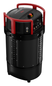
Leica TerrainMapper-3
LiDAR
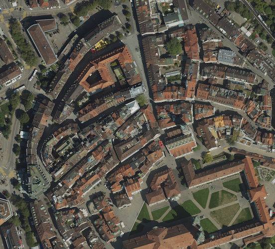
Ortho
Featuring an adjustable field of view up to 60 degrees, three configurable scan patterns and simultaneous matching-FOV imagery in four bands, the TerrainMapper-3 is designed to enhance the productivity of the most diverse applications in a single system.
Data Products
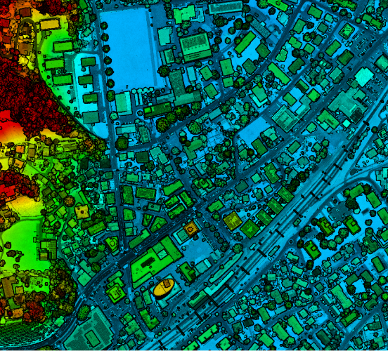
LiDAR Point Cloud
Collection of individual measurement points plotted on the X, Y, and Z axes.
Download